Distaghil Sar is a majestic mountain located in the Karakoram Range in the Gilgit-Baltistan region of Pakistan. The mountain is known for its stunning beauty, challenging climbing routes, and rich cultural heritage.
Disteghil Sar, also known as Distaghil Sar, is indeed the highest mountain in the Shimshal Valley, which is located in the Karakoram mountain range in Gilgit-Baltistan, Pakistan. It ranks as the 19th-highest mountain in the world and the 7th-highest in Pakistan. Notably, it is the tallest independent summit of its own subrange, succeeding Shishapangma in that aspect.
The name “Disteghil Sar” originates from the Wakhi language, which is spoken by the Wakhi people residing in Shimshal. It is translated as “above the inner ranch,” reflecting the local context and cultural significance. The mountain boasts a prominent ridge that stretches over 3 kilometers (1.9 miles) at elevations exceeding 7,400 meters.
It features three distinct summits: the Northwest summit at 7,885 meters, the Central summit at 7,760 meters, and the Southeast summit, which is either 7,696 meters or 7,535 meters high.
Height of Distaghil Sar
At an elevation of 25,869 feet, Distaghil Sar is the highest mountain in the Hispar Muztagh subrange of the Karakoram Range. The mountain is surrounded by several other peaks, including Kanjut Sar, Batura Sar, and Shispar.
Disteghil Sar Climbing History
Distaghil Sar was first successfully climbed in 1960 by Günther Stärker and Diether Marchart, who were part of an Austrian expedition led by Wolfgang Stefan. They chose the western part of the south face as their route and then continued over the southwest ridge to reach the highest summit.
In previous attempts, an English expedition in 1957 tried to climb the mountain from the south and west but was unsuccessful due to adverse weather conditions. A Swiss attempt in 1959 over the southeast ridge also faced similar weather-related challenges.
After the successful 1960 ascent, the highest western summit was climbed again in 1980 and 1982, following the original route. However, attempts to conquer the daunting north face in 1988 and 1998 did not succeed.
The eastern summit of Distaghil Sar was first climbed in 1980 by a Polish expedition, taking the east face as their route. This eastern summit was reascended in 1983.
These climbing achievements highlight the challenges and risks associated with conquering Distaghil Sar, as well as the determination and skill of the mountaineers who undertook these expeditions.
Distaghil Sar is known for its challenging climbing routes, and many experienced climbers from around the world come to test their skills on its slopes. The first ascent of the mountain was made in 1960 by a British expedition led by Victor Saunders.
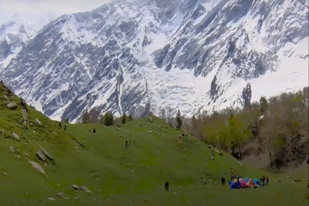
Apart from its climbing routes, Distaghil Sar is also known for its stunning beauty. The mountain is surrounded by beautiful glaciers, including the Hispar Glacier, which is the third-longest glacier in the world outside the polar regions.
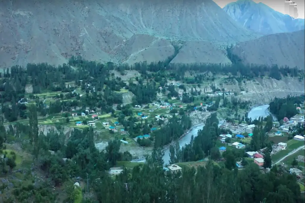
The area around Distaghil Sar is also home to several small villages and hamlets, where visitors can experience the local way of life. The people of these villages are known for their hospitality and warmth, and visitors are often treated to traditional meals and cultural performances.
The region around Distaghil Sar is also rich in cultural heritage. The area is home to several archaeological sites, including ancient rock carvings and petroglyphs, which offer insights into the lives of the ancient people who once lived in the region.

Distaghil Sar Route & Expedition
The typical route for the Distaghil Sar expedition begins from Hispar in the Nagar Valley of Gilgit-Baltistan. While there is also a route from the Biafo Glacier via Baltoro, the Nagar Valley route is relatively easier and shorter. The best time to attempt the summit is during the summer months in Pakistan, between May and August.
The Karakoram Mountain range is a massive chain of mountains stretching across Pakistan and China. It is renowned for hosting some of the world’s highest peaks, including K2 and Nanga Parbat. Spanning approximately 500 kilometers in length and 200 kilometers in width, the Karakoram range connects with the Hindukush and Himalaya mountains at certain points.
The range is also the source of several significant rivers, such as the Hunza River and the Indus River. The region is home to various valleys and communities, including Skardu, Hunza, and Gilgit.
After completing an expedition to the peak of Distaghil Sar, trekkers have the option to continue their journey towards Concordia. Known as the “Throne Room of The Mountain Gods,” Concordia offers breathtaking views of numerous majestic peaks in the area. Alternatively, they can return to the picturesque Nagar Valley, which is celebrated for its lush green pastures, vibrant culture, and rich heritage.
In recent years, Distaghil Sar has become an important tourist destination in Pakistan, attracting visitors from all over the world. The local government has taken several measures to promote tourism in the region, including the development of tourist infrastructure and the establishment of eco-tourism projects.
Overall, Distaghil Sar is a must-visit destination for anyone who loves nature, adventure, and culture. With its stunning beauty, challenging climbing routes, and rich cultural heritage, the mountain offers a unique and unforgettable experience for visitors of all ages.


