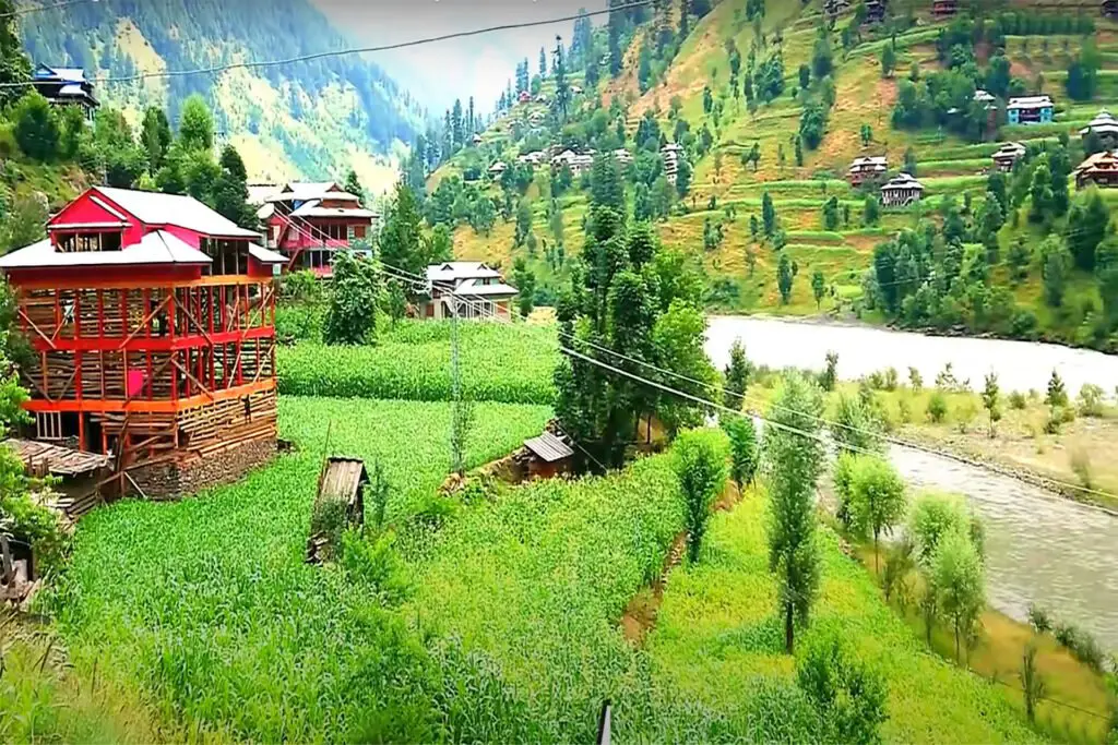
The Hunza Valley Pakistan is a mountainous region in the northern part of Pakistan’s Gilgit-Baltistan region, bordered by the Hunza River, the Ishkoman border in the northwest, Shigar in the southeast, Afghanistan’s Wakhan Corridor in the north, and Xinjiang in China northeast.
Hunza Valley Height
The Hunza Valley, Pakistan is 2,438 meters high (7,999 feet). Geographically, Hunza Valley consists of three regions: Upper Hunza (Gojal), Central Hunza, and Lower Hunza (Shinaki).
Buddhism, and to a lesser extent, Bön, was the dominant religion in the area. The region has several excavated Buddhist sites, such as the Sacred Rock of Hunza. Nearby are former Buddhist shelters.
Hunza Valley Pakistan Location
The village of Hunza was centrally located as a trade route from Central Asia to the subcontinent. It also provided protection for Buddhist missionaries and monks visiting the continent, and the region played a key role in transmitting Buddhism throughout Asia.
Hunza Valley Pakistan is located in the North of Pakistan in the Gilgit Baltistan region bordered by the Hunza River, the Ishkoman border in the northwest, Shigar in the southeast, Afghanistan’s Wakhan Corridor in the north, and Xinjiang in China’s northeast.
History of Hunza Valley Pakistan
This region was predominantly Buddhist until the 15th century, before the advent of Islam in the region. Since then, most people have converted to Islam. Thus, the existence of Buddhism in this region is now limited to archeological sites, as the remaining Buddhists of this region migrate east to Leh, where Buddhism is the dominant religion.
This region has many graffiti works in ancient Brahmi rock inscriptions, produced by Buddhist monks as a form of worship and tradition. As most of the locals converted to Islam, it was left unattended, destroyed, or forgotten, but is now being restored.
Hunza was formerly a major region bordering Xinjiang (China’s autonomous region) northeast and Pamir in the northwest, which survived until 1974, when it was eventually disbanded by Zulfikar Ali Bhutto. The state borders the Gilgit Agency in the south and the former province of Nagar in the east.
The regional capital was the city of Baltit (also known as Karimabad); another old settlement is Ganish Village meaning ‘Baba Ganesh village’ (Buddhist name). Hunza was an independent principal for more than 900 years and in the early 1800’s, Hunza played a key role in the Great British Games.
In 1891 Hunza was captured by the British Empire, and the ruler of Hunza, Mir Safdar Ali Khan, fled to Kashgar, China, and the British army installed his brother Mir Nazim Khan (1892-1938) as the puppet ruler of Hunza Valley, but all orders were enforced by British officials stationed in the capital Gilgit.
The two provinces of Hunza and Nagar were previously separate, ruled by the Sahreis branch, the ruling Gilgit family, whose seat was Nagar. The first [M] Muslim came to Hunza-Nagar Valley for about 1000 years (In the time of Imam Islām Shāh 30th Muslim Ismaili).
After the introduction of Islam to Gilgit, he married the daughter of Trakhan of Gilgit, who bore him twin sons, named Moghlot and Girkis. From the first, the current Nager family is emerging. The twins are said to have shown animosity toward each other since birth.
Then his father, unable to resolve the question of succession, divided his kingdom among them, giving Girkis north / west, and Moghlot on the south / east bank of the river.
Peaks of Hunza Valley Pakistan
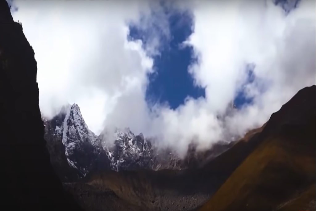
Hunza is one of the most touristic places in Pakistan. A few high peaks rise above 7,000 feet in the surrounding Hunza Valley Pakistan. The valley offers views of several mountains, including:
Rakaposhi 7,788 m (25,551 ft),
Ultar Sar 7,388 m (24,239 ft),
Bojahagur Duanasir II 7,329 m (24,045 ft),Diran peak (7,266),
Spantik (7027m),
Ghenta Peak 7,090 m (15,631 ft),
Hunza Peak 6,270 m (20,571 ft),
Darmyani Peak 6,090 m (19,980 ft), and
Bublimating (Ladyfinger Peak) 6,000 m (19,685 ft).
Many 7,000 m mountains exist in Hunza such as
Distaghil Sar,
Batura,
Batura II,
Batura III,
- Muchu Chhish
Kunyang Chhish,
Shispare,
Passu Sar,
Kanjut Sar,
Yukshin Gardan Sar,
Pumari Chhish,
Momhil Sar and many more.
Places to Visit in Hunza Valley Pakistan
The mythical fortress of Baltit, above Karimabad, is a landmark Hunza built about 800 years ago. Suspended by the huge legs, its wooden harbor windows overlooked the valley. Initially, it was used as a residence for the Mirs (former rulers) of Hunza.
Hunza Valley Pakistan also hosts ancient towers in Ganish, Baltit Fort, and Altit Fort. The Watchtower is located in the heart of Ganish Village. Baltit Fort stands over Karimabad, while Altit Fort lies just below the valley. In the 8th century AD, a large number of Buddhists surrounded by small Buddhists were found engraved on a rock.
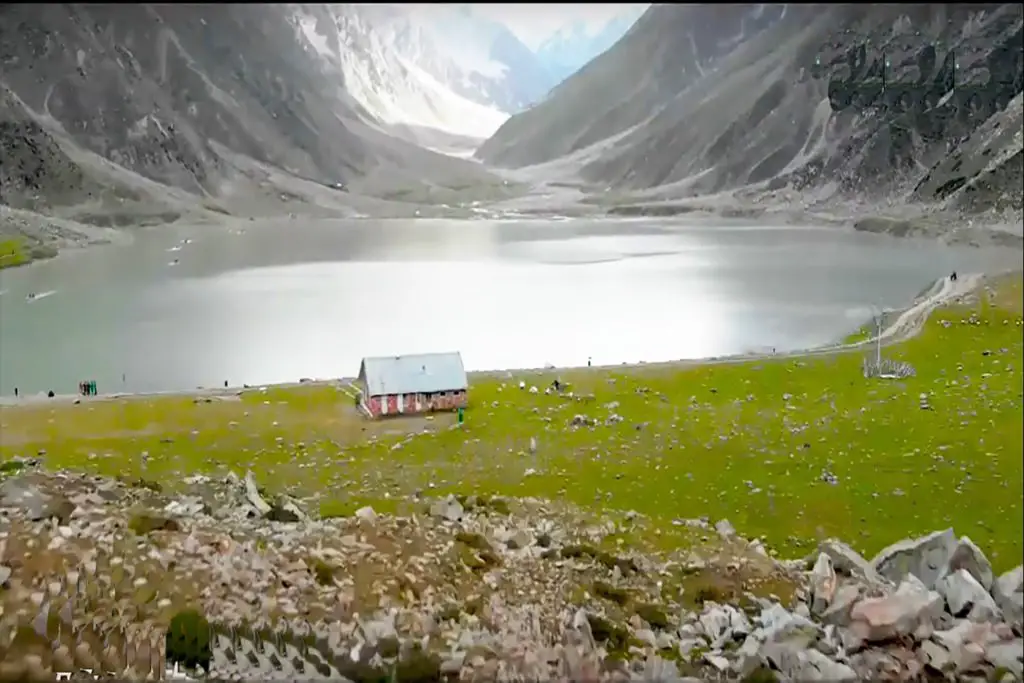
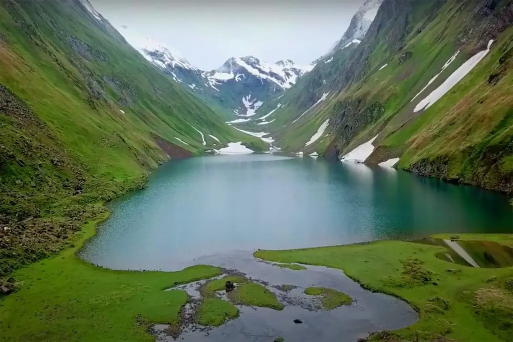
Prehistoric men and animal sculptures are carved into the rock near the valley. Other lakes such as Attabad Lake, Borith Lake, Shimshal Lakes, and Hassanabad Lake are located in Hunza.
Khunjerab Pass is a mountain of 4,693 meters high in the mountains of Karakoram. It is located on the northern border of Pakistan and the southwestern border of China and is located in Hunza.
Ecotourism hikes like Ondra Poygah Gulmit and Leopard Trek Shiskhat are also known for their ideas.
The valley is believed to be the inspiration for the mythical Shangri-La Valley in James 1933’s James Hilton book, Lost Horizon.
One can see the 57 km long Batura Glacier, the fifth longest glacier in the world outside of the cooler climate, surrounded by the peaks of Shispare, Batura, and Kumpirdior. Once at Sost, one can continue the trek up to Khunzhrav or turn west to the Chipursan (and Chapursan) Valley.
At Yarzerech (also Yarzirich), one can look at the Kundahill peak (6,000 meters), or take the Rishepzhirav road to Kundahill. Apart from Yarzerech, one can travel to Lupghar, Raminj, Reshit, Yishkuk and even to Bobo Ghundi (Oston), the shrine of Baba-e-Ghund, a saint from Afghanistan near the border between Pakistan and the Wakhan region of Afghanistan.
Hunza Valley People and Languages
The local languages spoken in Hunza Valley Pakistan include Burushaski, Builder, and Chinese. The literacy rate in Hunza village is over 95%. The historical site of Hunza and present-day northern Pakistan, over the centuries, has been the center of mass migration, ethnic strife, and ethnic and tribal resettlement, with the Chinese people gaining prominence in regional history.
The people of the region have recounted their historical traditions from generation to generation. The Hunza Valley Pakistan is also home to some Wakhi, who migrated from northeastern Afghanistan from the nineteenth century onwards.
The longevity of the Hunza people has been noted by some, but some dismiss this as a long-lived myth promoted by a lack of birth records. There is no evidence that Hunza’s lifespan is much higher than that of Pakistan’s poorer, more isolated areas. Claims of health and longevity were probably based solely on the statement of the local mir (king).
An author who had significant and ongoing communication with the people of Burusho, John Clark, reported that they were completely unhealthy.
However, whether their longevity is real or not, there is no doubt that the people of Hunza live a healthy lifestyle. Many researchers have sat down with the people of Hunza to answer this mystery, including Robert Maccrison, who was never diagnosed with a disease such as cancer, stomach ulcers, or appendicitis.
In addition, Henri Coanda spent six decades studying ice water in Hunza and discovered the possible explanations for the longevity of the people of Hunza.

