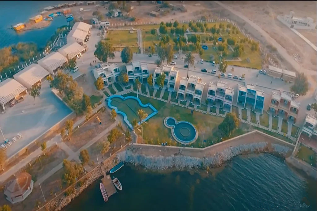
The Karoonjhar mountain range is located in Tharparkar. This is a hill in the district near the site of Nagarparkar on the northern edge of the Rann of Kutch. It contains granite rocks and Chinese clay.
The Karoonjhar mountain range is 19 km long and reaches a height of 305 m. The Karoonjhar mountains are rich in mineral deposits. Karunjhar was known as Kinro. The range has several places of historical importance like Bhodesar Talao, Alakh Wao (hidden well), Sardaro, and Gao Mukhi.
Karoonjhar’ is a term formed by combining two Sindhi words; “Karoon” means black and “Jhar” means dot.
The Karoonjhar mountain range is one of the lowest in the country, at 305 meters above sea level. Its total length is 19 kilometers. Geologists believe that this mountain range may be about 2.5 billion years old.
Karoonjhar Height
They mostly consist of granitic rock and are probably an extension of the Aravalli region of India. The Aravalli range belongs to the Archean period and is thus one of the oldest rock systems. The Karoonjhar mountain region is geographically distinct from the surrounding desert and its area is very limited. The Karoonjhar range is 19 km long and reaches a height of 305 m. The Karoonjhar range is rich in mineral deposits.
It was a period of active geological activity on the entire earth’s surface. As we know today, continents are formed. Therefore, the entire region has interesting and uneven sloping layers and thus belongs to one of the oldest rock systems on Earth. This place can be listed as one of the oldest tourist attractions in Sindh, but it has not yet been fully explored.
If you drive east from the main mountain range, you will see an area dotted with hills and sparse vegetation, reflecting the typical topography of the area. In addition, there is a temporary waterway called Bhetiani and Gordhro. These ocean currents flow during the rainy season, which usually lasts from July to September. This is also the best season to visit the Karoonjhar Range in Tharparkar, Sindh.
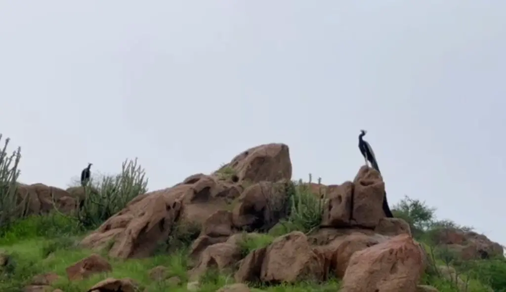
History of Karoonjhar Mountain
Karoonjhar has been mentioned in many verses of Sindhi and Gujarati poets. The myths and traditions of Sadwant & Sharanga, Hothlal Pari (nature fairy), Odho Jam (Sindhi tradition), and Bherio Garori (wolf ring) are considered to be in this range.
Hothlal Pari is believed to have appeared first in the Karoonjhar mountain range. In olden times, Karoonjhar was also known as “Kinro”. The range has several places of historical importance such as Bhodeser Talao, Alakh Wao (hidden well), Anchlechure, Sardaro, Gao Mukhi, Punraj Gadr, Nani, Chandan Gadr, Bhaun jo Bheesro, Jharno and Bhaunro. In the past, many individuals were exiled to Karoonjhar by the rulers of nearby states.
The range was once a stronghold of Jainism in the region. Researcher Mashkoor Phulkaro wrote that there are at least 108 holy places among the surrounding hills Until 1226, the Thar region was part of a great sea and the present desert region served as a port and trading center for the Jains who formed the merchant class.
Subsequently, an earthquake in Parinagar, a major shipping port, changed its geography and forced the Jains to move to Kutch and Bhuj in modern India. Before their exodus, they built several temples at Mount Karoonjhar, Nagarparkar, and Parinagar. Of these, only four exist today and only two of them are in good condition (at Veerawah and Nagarparkar). The last Jain family to leave the area did so in 1971.
Karoonjhar Range Location
The Karoonjhar Mountain range is located near the India-Pakistan border. This is why the entire area is guarded by Pakistani Rangers. It is located in the Nagarparkar area on the southeastern edge of Tharparkar, Sindh province.
The mountain range is located about 132 kilometers southeast of Mithi city in Sindh province, around the Islamkot road. If you are flying from major cities like Karachi or Hyderabad, this is also the best way to reach the Karoonjhar Mountains in Sindh. You can also stop at Mithi, explore the city, and continue your journey.
This place is connected to some major roads in the area. This makes it one of the most affordable tourist attractions in Sindh. If you are flying from Karachi, the fastest route to your destination is National Highway 5. You have to fly a distance of more than 450 kilometers and the total flight time is around 7 hours.
On the other hand, the distance between the Karoonjhar mountain range and Hyderabad is approximately 350 kilometers. In this regard, the fastest route you can choose is via the Hyderabad-Badin Highway, which takes around 5.5 hours.
Don’t forget to stop and explore some of the most amazing historical sites in Sindh that you will come across on your way. Let’s learn more about these monuments and what measures stakeholders are taking to protect them.
Karoonjhar Mountaineering
The entire region of Nagarparkar and Tharparkar has a long history and is therefore vital to the tourism industry in Sindh. The Sindh Tourism Development Corporation (STDC) states this on its official website and has recently created Sardharo Picnic Point at Karoonjhar, Nagarparkar for the convenience of tourists.
A pedestrian bridge has recently been constructed between two slopes in this area to facilitate tourists. Like other popular tourist attractions in Sindh, the Sindh Tourism Development Authority (STDC) is also planning to improve infrastructure around the Karoonjhar range in Nagarparkar.
Apart from this, the authorities are also working on the restoration and restoration of historical sites near the Karoonjhar mountain range. Notable things in this regard include the 16th-century Jain temples, the Marvi Well (locally called “Marvi Jo Kunh”), and the Budisar Mosque.
These historical places near the Karoonjhar range are places of worship or sacred ceremonies that can be traced back to ancient times.
Weather in Karoonjhar Mountain
To know the best season to visit this mountain in Sindh, we will have to carefully monitor the weather in this area. It is one of the tourist attractions in Sindh province and remains dry and dusty almost throughout the year. The main reason why the Karoonjhar range is dry and dusty is because it is part of the Thar Desert, which is one of the largest deserts in Pakistan.
However, as discussed, there is almost no rainfall in the area during the monsoon season, which usually lasts from July to September. If you have already started packing for your trip, you should know the following before visiting this mountain range in Sindh.
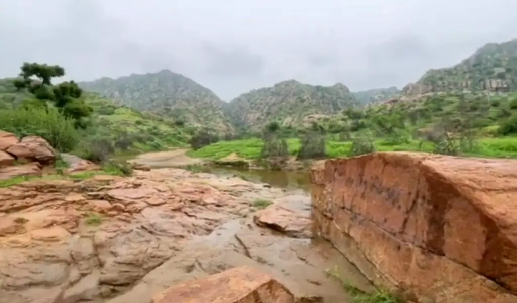
Known for its sweets and hot weather, the province of Sindh has many attractions for everyone to consider. Pakistan has been given pure beauty by the Almight. Karoonjhar is one of the most beautiful places in Sindh with natural minerals.
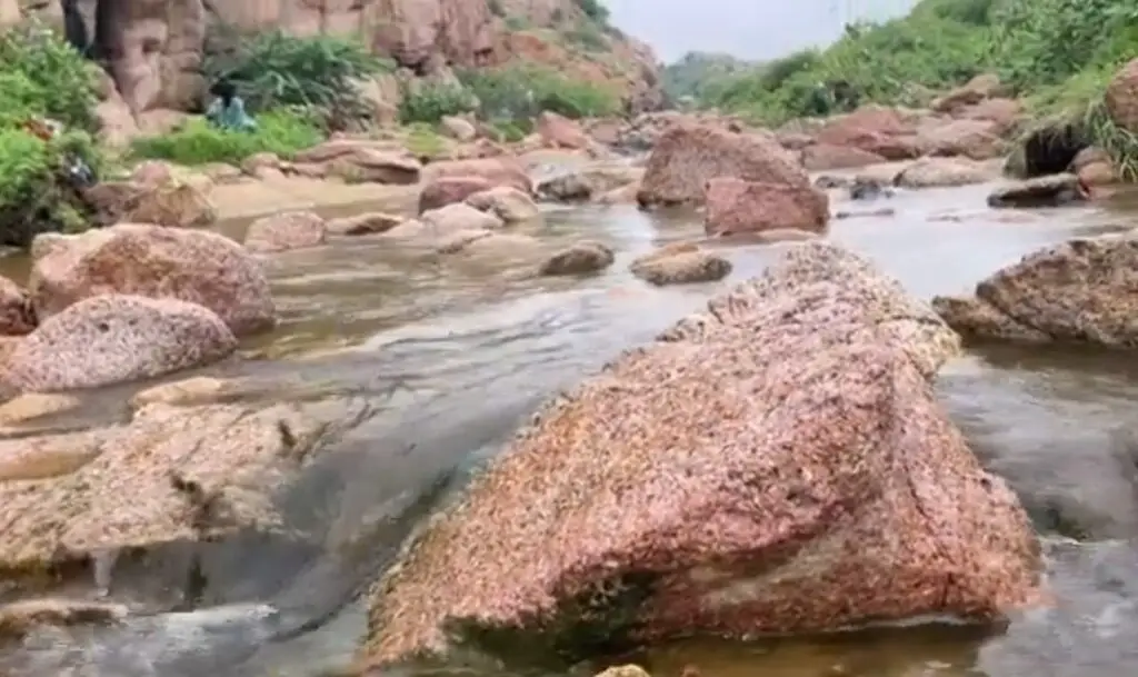
Karoonjhar Dam supplies water to the residents of Nagarparkar district. In the monsoon season, rainwater flows from the mountains and flows into more than 20 streams. A few of them are Bhatiani, Mau, Gordaro, Ranasir, Sukhpur, Ghatiyari, Madanuah, Mundaro, Bhodeser, Lolray, Drah, Puranuah to the Rann of Kutch.
Apart from its beauty, Karoonjhar is of great economic importance to the local people in the area due to its rich mineral deposits and herbal medicinal value.
Karoonjhar mountain range is of great economic importance to the local people as it has rich mineral deposits and medicinal plants. This mountain is so economically important that there is a local proverb: “Kaoonjhar often produces 100 kilograms of gold.
Things not to forget when visiting the Karoonjhar Mountain Region
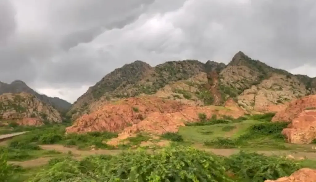
Choose a cloudy day for your hike because you won’t be able to explore the mountains easily in the hot desert and hot sun. The temperature during the day can exceed 40 degrees Celsius.
Avoid visiting Sardharo picnic area in Karoonjhar, Nagarparkar if water is flowing. Landslides often occur in the area during the rainy season.
The road through this mountainous and hilly area is still thin and bumpy and there is no carpet. When driving, focus all your attention on the road instead of staring at the mountain view.
Mining of minerals
The inherent wealth of the Karoonjhar has attracted many people to mine granite and its use for building and dams has already prompted the local government and various corporations to cling to the area like skinworms, leaving bald spots on these sacred and historic mountains.


