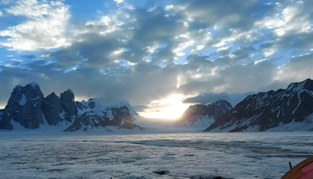
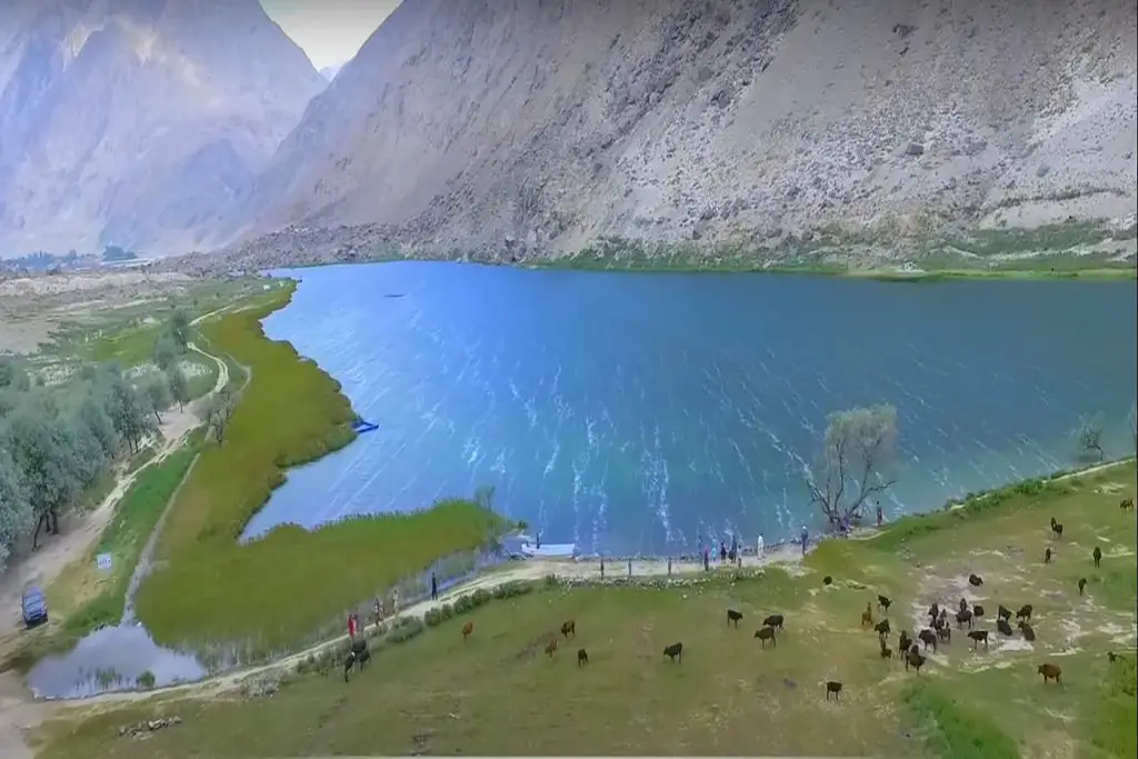
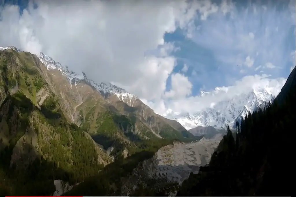
Snow Lake Trek or Lukpe Lawo, is a high-altitude glacial basin in the Karakoram Mountains in the Gilgit-Baltistan region of northern Pakistan. It is not a lake, despite its name.
Snow Lake trek in Pakistan is a challenging and adventurous trek that offers stunning views of some of the highest mountains in the world. The trek is located in the heart of the Karakoram range in the Gilgit-Baltistan region of Pakistan. It is considered to be one of the most beautiful treks in the world due to its unique features.
Location of Snow Lake Trek
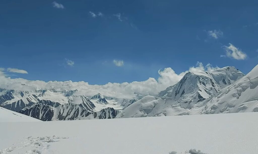
Snow Lake Trek is located 16,000 feet (4,877 m) above sea level and is approximately 10 miles (16 km) wide. The basin lies at the head of the Biafo and Hispar glaciers, which spread down from Hispar Pass in opposite directions to form a 61-mile (100 km) river of ice that is among the world’s longest continuous non-polar glacial systems.
Snow Lake Trek is a glacial basin located at an altitude of 4,800 m above sea level and approximately 16 km wide. The watershed sits at the head of the Biafo and Hispar glaciers and spreads in opposite directions in the Hispar Pass, forming a 100 km long continuous glacier system that is one of the longest in the world.
Martin Conway, the first foreign visitor and the one who named it Snow Lake, described it this way: “It is, by all comparisons, the best mountain view I ever saw, nor do I believe the world could be more beautiful.” I defer to Mr. Conway. Such miracles were created to be observed.
Difficulty Level
But like all (relatively) untouched wonders of nature, Snow Lake Trek is very difficult to access. Less than 200 people manage to achieve it in a year.
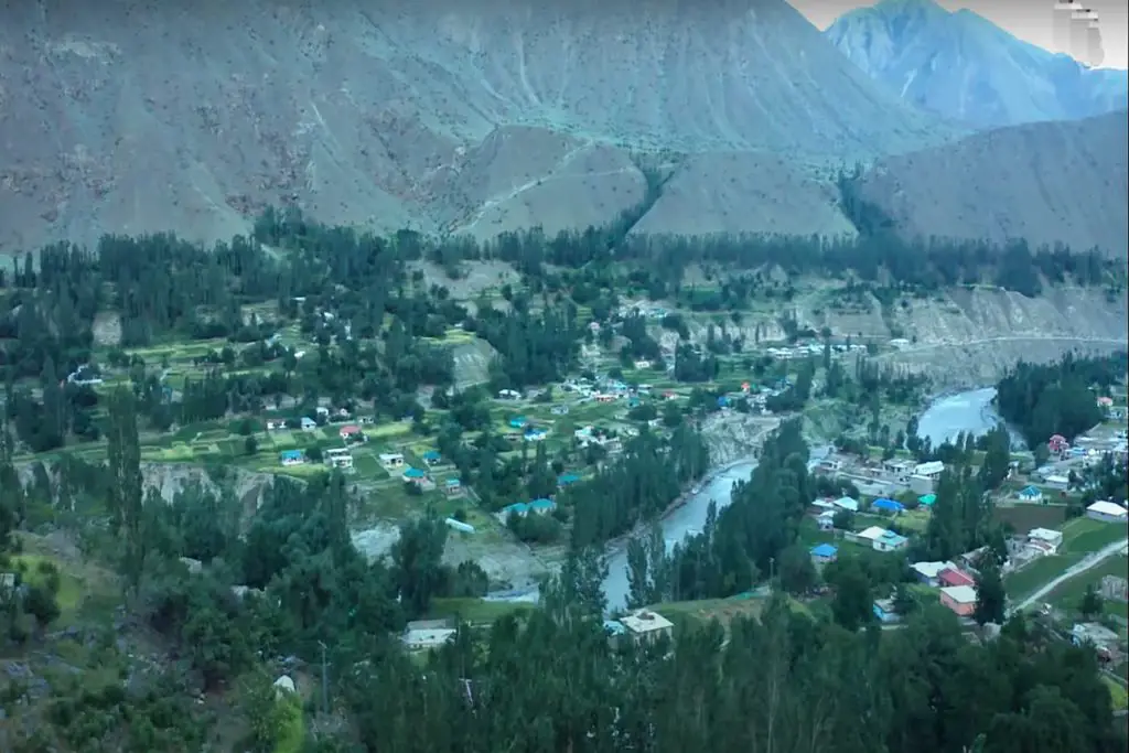
The Snow Lake trek begins from Askole, a small town located in the district of Skardu. From here, the trail leads to the Baltoro Glacier, which is one of the longest glaciers in the world, stretching over 63 kilometers. The trail passes through some of the most breathtaking scenery in the world, including massive glaciers, snow-capped peaks, and crystal-clear lakes.
How to Reach Snow Lake
The journey to Snow Lake usually starts from Skardu, which can be reached by plane or jeep from Islamabad. From Skardu, a jeep takes passengers through the Bralda Gorge to the village of Askole. The trek from Askole initially continues towards K2, then turns northwest up the Biafo Glacier to Snow Lake. The descent is different from the ascent, passing through the Hunza Valley and ending in Gilgit, from where return to Islamabad can be arranged by plane or jeep.
The trek is a long one, taking around 18-20 days to complete, but it is worth the effort as it offers breathtaking views of some of the highest peaks in the world, including K2, Gasherbrum I and II, Broad Peak, and many more. The trail is challenging and requires a high level of physical fitness and endurance as it involves crossing multiple high-altitude passes, including the Gondogoro La Pass, which stands at an altitude of 5,940 meters.
One of the highlights of the trek is the view of the Snow Lake, which is a massive glacial lake surrounded by snow-capped mountains. The lake is named after its unique feature of remaining frozen throughout the year, and it is considered to be one of the most beautiful glacial lakes in the world.
Islamabad to Skardu
From Islamabad, reach Skardu.
Skardu can be accessed by Air or by Road.
By Road travel is adventurous, tiresome, and time-consuming.
Skardu to Askole (3,300 m, 10,800 ft)
Needs to hire 4×4 jeeps and start the bumpy, dusty journey to Askole – the gateway to the Central Karakoram National Park. The journey from Skardu to Askole takes 7 to 10 hours depending on the condition of the road.
Askole To Namla (3,650 m 11,800 ft)
12 km on foot (7 to 8 hours)
The trek starts along the K2 Base Camp trail and then turns west towards the Biafo Glacier.
The trail climbs over the shoulder to the left moraine and descends to the glacier and then back to the left bank where Namla Grass Camp is located beyond the side moraine.
Namla to Mongo (3,700 m, 12,130 ft)
After crossing the fracture zone on the glacier you reach the center of the glacier where you have to follow the moraine ridges, there is loose rock under your feet so this day is challenging.
Campsites will be set up on the left bank of the Biafo in a grassy area.
Mongo to Shafong (4,000 m 13,120 ft)
On foot 11 km (6 to 7 hours)
The route continues through the center of the glacier on a wide ice highway, which makes walking easier compared to the previous one. After a few hours of walking, the Biafo glacier began to peek over the horizon and soon after showed its visage on the icy white glacier.
The camp is heaven on earth, with the beautiful Sokha Lumbu (5,650m) and Tongo (5,900m) right in front and beautiful grassy slopes beyond.
Shafong to Baintha (4,000 m 13,120 ft)
Go right and descend the glacier to the grassy area where Baintha Camp is located.
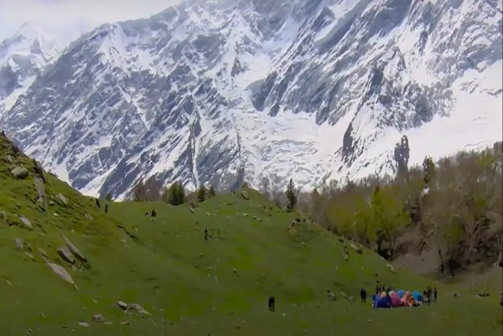
To reach Baintha, you drive through another amazing ablation valley, passing small bodies of water through lush electric green meadows.
Baintha to Marphogoro (4,400 m, 14,430 ft)
On foot 11 km (5 to 6 hours)
The trail is steep and loose to get to the glacier, but once you get there on the flat glacier, you can go relatively straight.
Further along the glacier there are certain crevasses so that you are aware of where, depending on the conditions, to secure the rope passage. There are wonderful views of many peaks including The Ogre (7,813m) as well as the first views of Hispar La and Snow Lake.
Great views of the Masherbrum Trail, Gasherbrum IV, and Broad Peak can be seen right outside your tent.
Marphogoro to Karfogoro (4,600 m, 15,090 ft)
The glacier trek from Marphogoro to Karfogoro is relatively easy. Trekking on ice with almost no rocks visible but avoiding crevasses is the main challenge of this part of the trek.
Looking at the end of the glacier, you could see Snow Lake.
Karfogoro is a hard-to-reach campsite. The approach to the campsite is threatened by many deep cracks. Unstable rocks and rubble cover the road, and to top it all off, there are plenty of steep climbs and descents to climb before reaching the site.
Camping Karfogoro is located on the edge of the mountain. A freezing gale from Snow Lake hits the campsite with ferocious confidence, leaving nothing but rocks and very narrow spaces between boulders for inhospitable encampment.
Karfogoro to Snowlake/Hispar La Basecamp (5,128 m, 16,824 ft)
On foot 10 km (8 hours)
walk to the southern end of the large snowy flat area known as Snow Lake and find your way through a network of cracks. Snow Lake is a high-altitude glacial basin over 16 km wide at the head of the Biafo and Hispar glaciers.
The trek to Snow Lake is an incredible experience, offering adventure, challenge, and breathtaking scenery. It is a must-do for any serious trekker or mountain enthusiast who wants to experience the natural beauty of Pakistan and witness some of the highest peaks in the world up close. However, it is important to take proper precautions and prepare adequately for the trek to ensure a safe and enjoyable experience.

